Deadmans Run Project
History
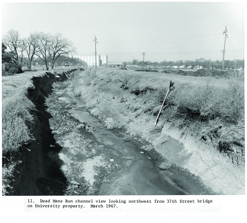
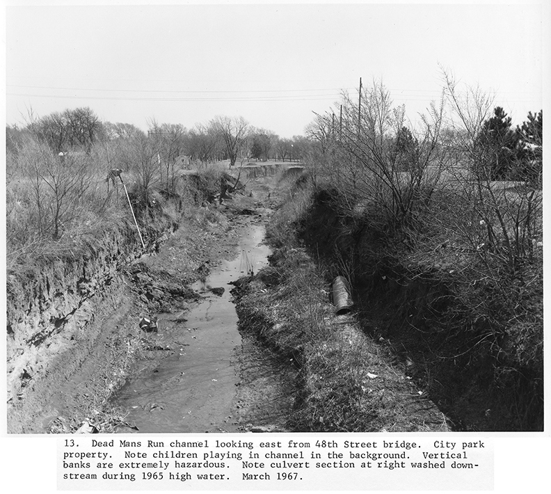
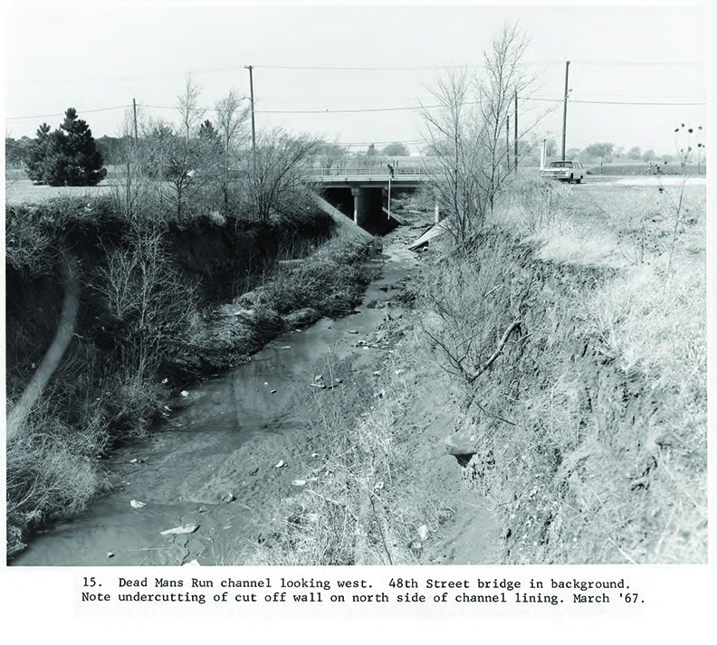
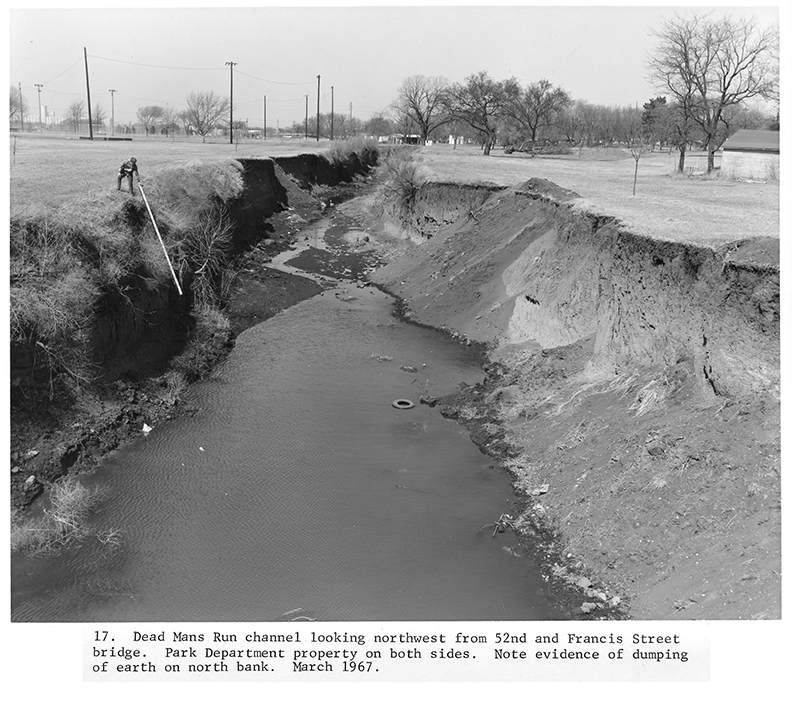
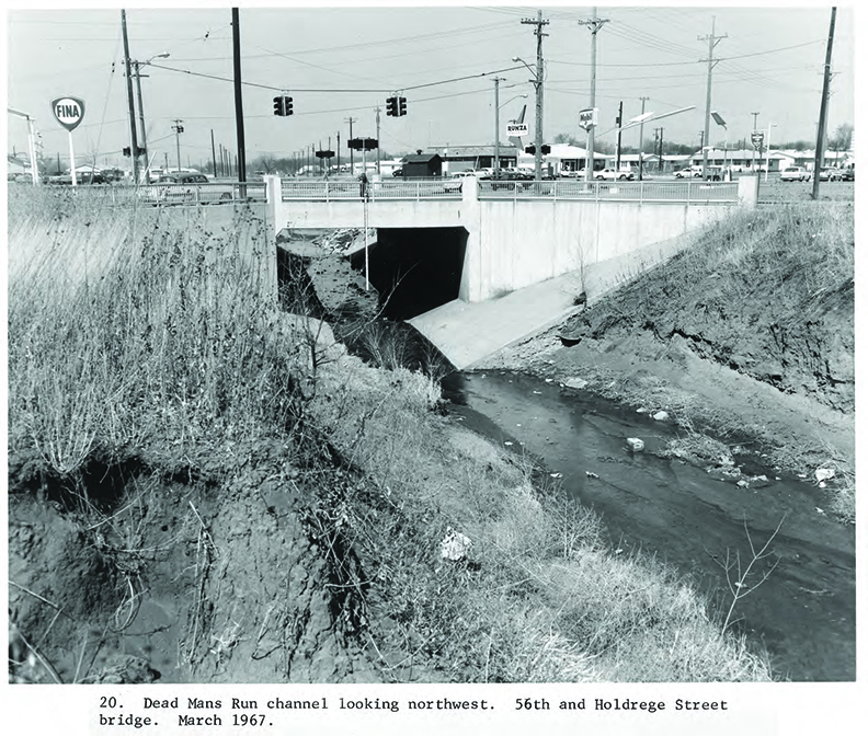
Lincoln's Deadmans Run Watershed has a long history of challenges related to flooding and soil erosion. In 1967, the creek was documented through a series of photos, detailing the watershed’s condition at that time and highlighting where improvements were needed.
After several years of study by the U.S. Army Corps of Engineers (USACE), the City of Lincoln and LPSNRD, entered the design phase in December 2018 for the Deadmans Run Flood Reduction Project (DMR). Soon after, the Platte River Basin encountered a series of unforeseen events, such as record flooding, a global pandemic, and economic factors that included rising material costs and interest rates. Further, these disruptions have resulted in adjustments to the project timeline and its overall feasibility.
With the updated increase in cost to be expected around $60 million, the LPSNRD hired Houston Engineering to complete a value engineering study. This study would reduce the cost to an estimated $25 million by looking at several unique design options. The project would no longer involve the USACE but still achieve the overall goal of removing an estimated 480 homes and businesses from the 100-year floodplain.
With the USACE project being indefinitely postponed, the City and LPSNRD have moved forward and agreed to split design and construction costs evenly. Currently, the LPSNRD and City of Lincoln are working with Houston Engineering on plans which could save an estimated $35 million in additional costs while continuing to enhance the safety of the public in the Deadmans Run Watershed.
Project Phases
The Deadmans Run Flood Reduction Projected is planned in two phases, with construction occurring at different times.
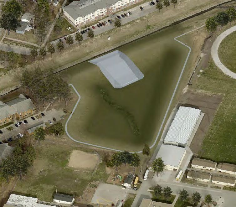
Phase 1 began in fall 2025 with tree removal for a detention basin near 56th and Holdrege Streets. Construction of the basin began in June 2026 and is currently underway.
Once operational, the detention basin will provide added flood protection by capturing stormwater during major rain events and releasing it more gradually. Although no buildings will be relocated or demolished as part of the project, the planned improvements are expected to lower flood exposure for approximately 480 homes and businesses by moving them outside the mapped 100-year floodplain.

Phase 2 improvements include tree removal for a second detention basin west of 48th Street, channel bench widening between 48th Street and the Burlington Northern Santa Fe (BNSF) Railway, and wetland development west of 48th Street.
The wetlands could also support future educational and research opportunities in partnership with the University of Nebraska–Lincoln (UNL).
Fall 2026
With Phase 1 tree removal complete, crews have shifted their attention to excavation at the future detention basin site. Soil removal is now underway, and upcoming work will include construction of a diversion structure connecting the DMR Creek Channel to the basin. During heavy rain, it will direct excess water from the channel into the detention basin for temporary storage. This basin will help manage stormwater runoff and support long-term drainage improvements for the area. View the drone footage for an aerial look at the latest construction progress and the detention basin taking shape on site.
Community Engagement
DMR Tree and Dirt Removal 2026
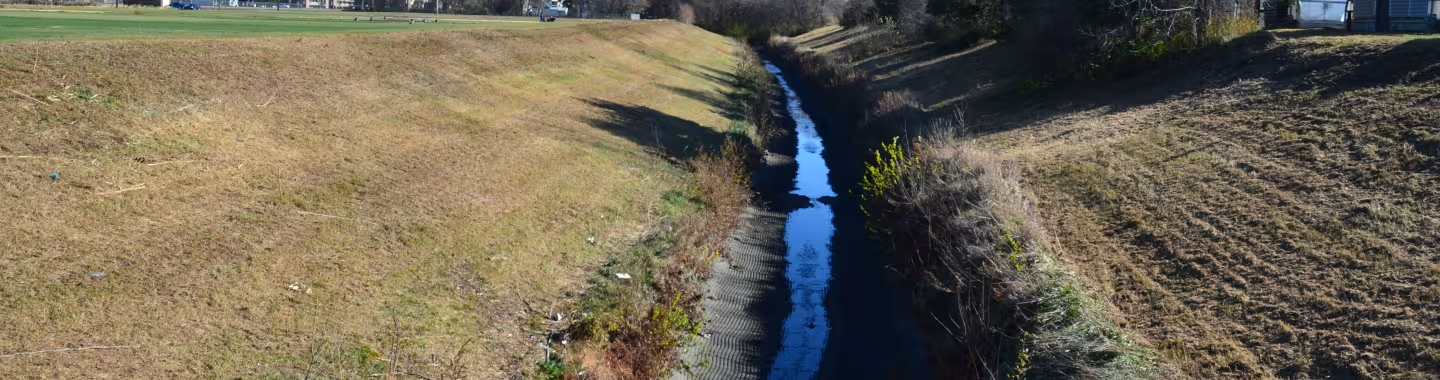
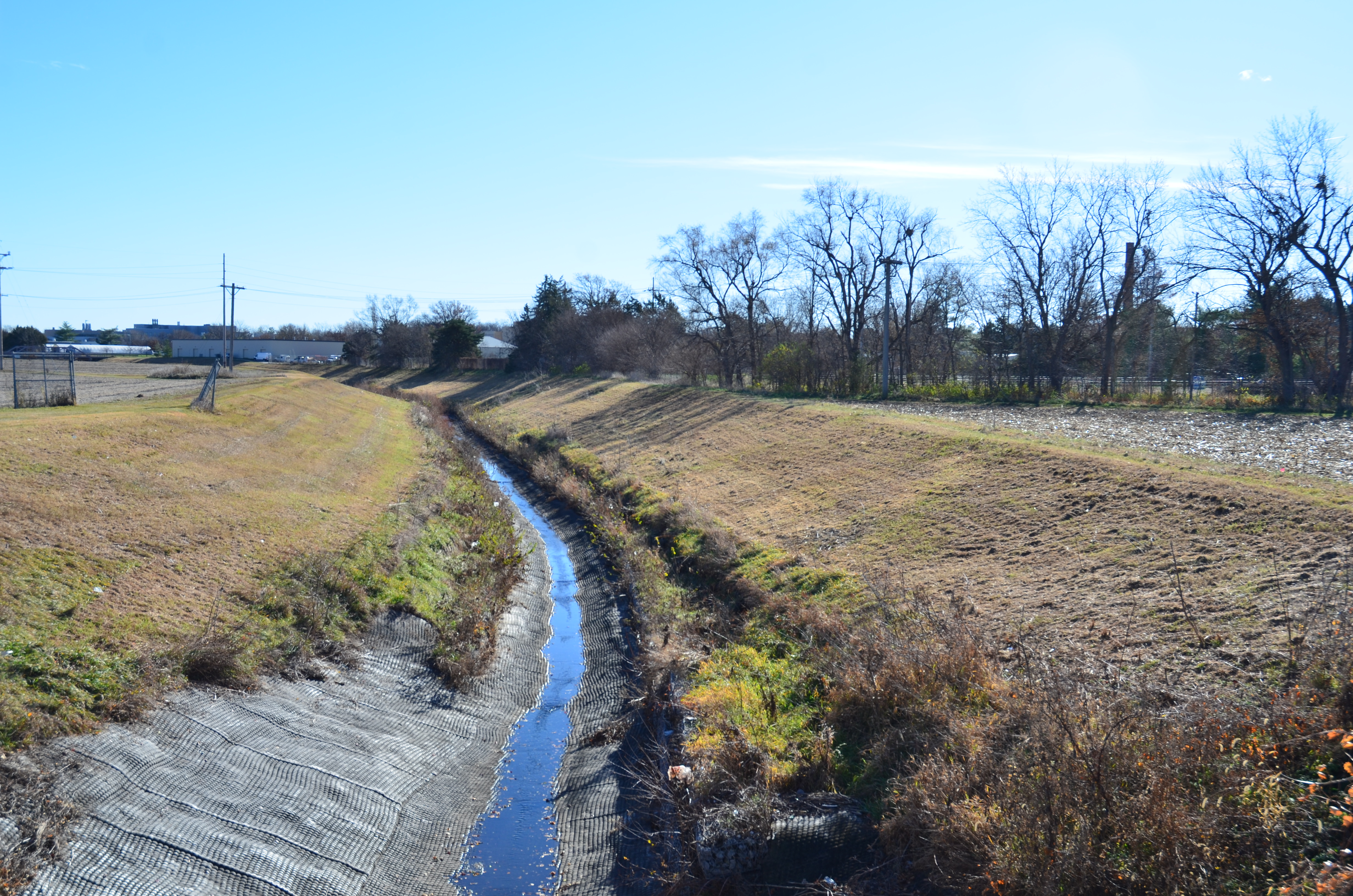
Dead Mans Run Channel 2025
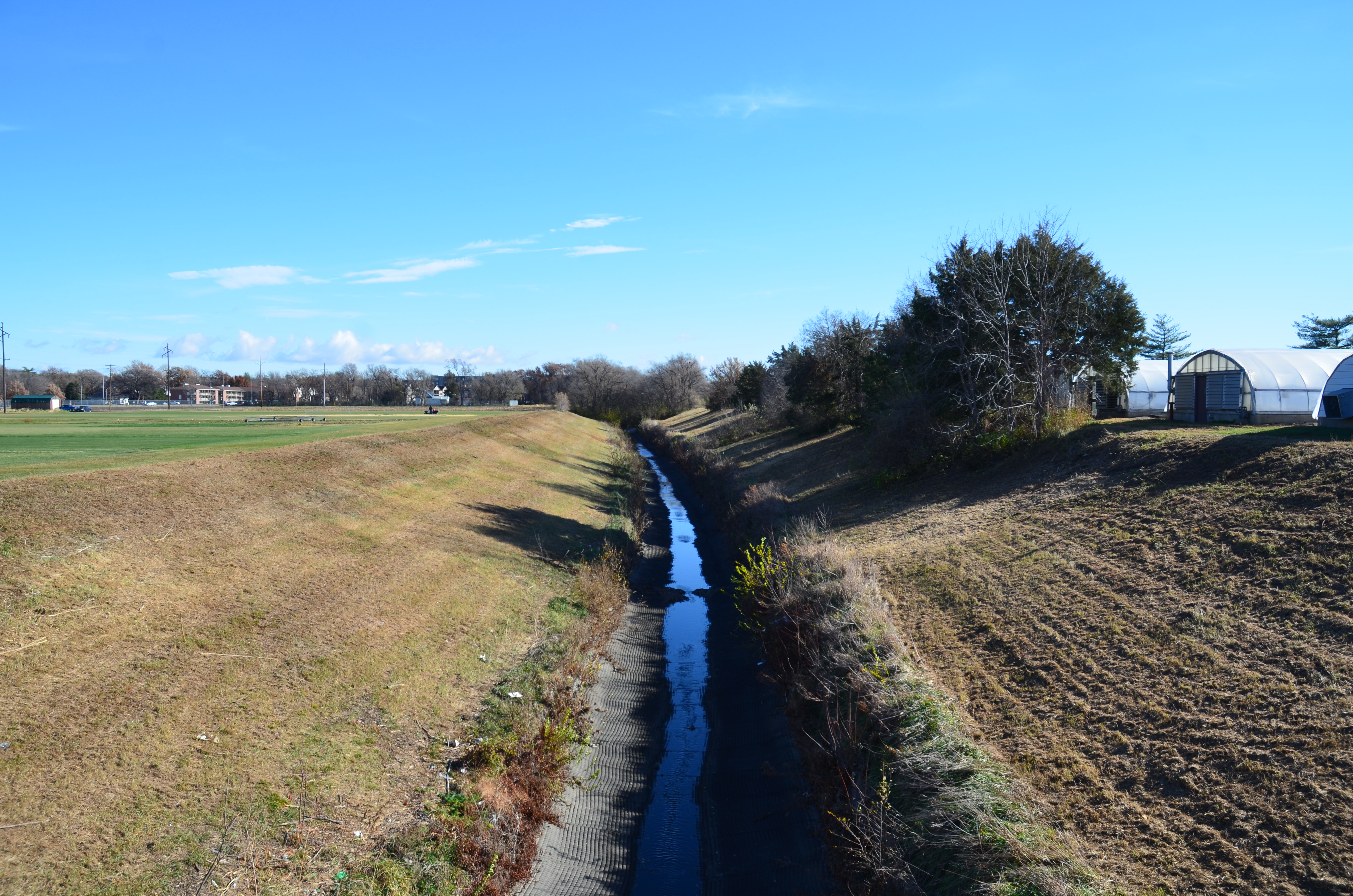
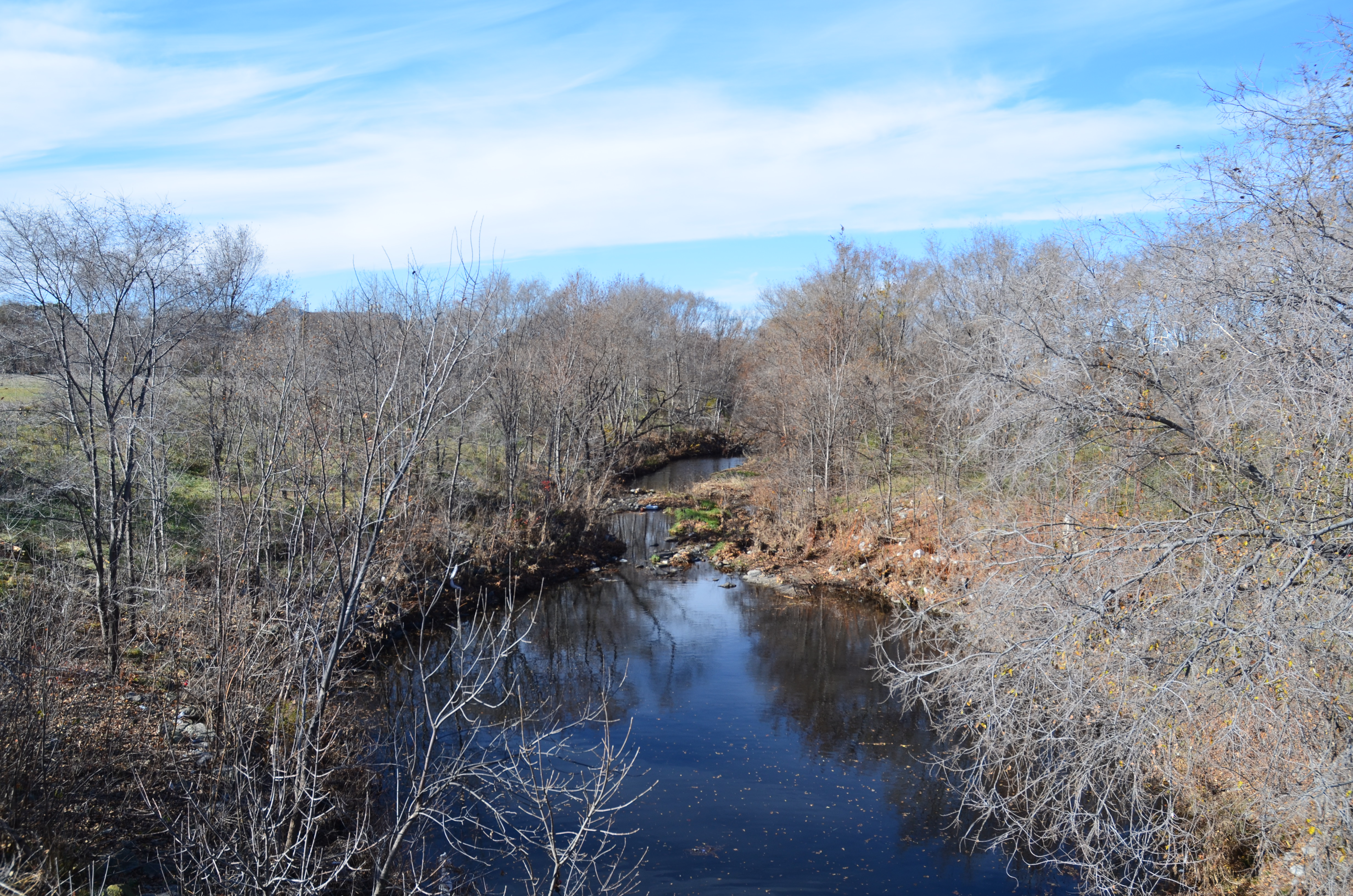
Dead Mans Run Channel 1967